
MLA ’25: Transportation Options for Getting Around Pittsburgh
Submitted by: Michael Balkenhol
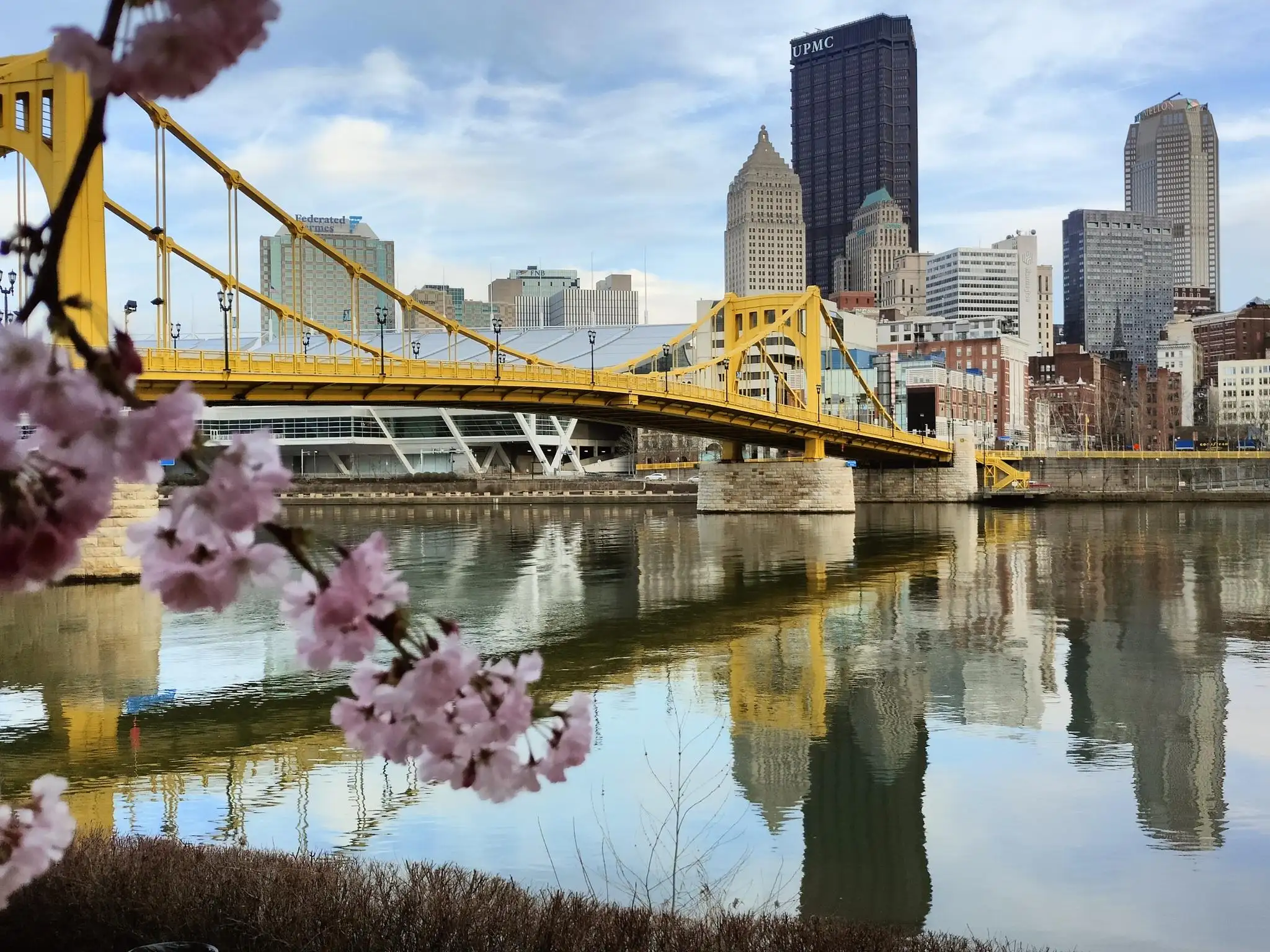
Traveling to Pittsburgh
- Car: Driving Directions for David L. Lawrence Convention Center
- Train: Amtrak – Union Station
- Bus: Greyhound – Pittsburgh Intermodal Station
- Air: Pittsburgh International Airport
Getting Around Pittsburgh
Pittsburgh is home to 90 different neighborhoods! The David L. Lawrence Convention Center and conference hotels are centrally located downtown, making it easy to explore nearby restaurants and attractions by foot, ride share, or public transit.
Pittsburgh Regional Transit (PRT) has a light rail system (also known as “The T”) that runs north and south of the city, including downtown stops that are free to ride between First Avenue and Allegheny stations. PRT has a more extensive bus service to reach neighborhoods such as the Strip District, Lawrenceville, Oakland, Shadyside, and East Liberty.
The following neighborhoods are within easy traveling distance from the hotel if you have time to venture out of downtown!
- North Shore and North Side
- 20+ minute walk from downtown to the North Shore. Would recommend taking a ride share or bus to North Side attractions such as the National Aviary, the Mattress Factory, Randyland, the Andy Warhol Museum, PNC Park, and more.
- Buses: 1, 2, 4, 6, 8, 11, 12, 13, 16, 17
- Light rail stations: North Side, Allegheny Station (blue, red, or silver lines)
- Strip District
- 20-25 minute walk from the convention center
- Buses: 86, 87, 88, 91
- Check out all the iconic shops, bars, and restaurants along Smallman Street and Penn Ave. Plus, the Heinz History Center is walking distance from the convention center!
- South Shore/Station Square
- 25-30 minute walk from the convention center
- Buses: 43, 48, 51
- Light rail stations: Station Square (blue, red, or silver lines)
- Lawrenceville
- 15-minute bus ride from the convention center
- Buses: 86, 87, 88, 91
- Lawrenceville is a great neighborhood for eating, drinking, shopping, and dancing.
- Oakland
- Buses: 61A, 61B, 61C, 61D, 67, 69, 71A, 71B, 71C, 71D
- Home to the University of Pittsburgh, Carnegie Mellon University, Schenley Park, Phipps Botanical Garden, the Carnegie Museums of Art and History, and more.
- Shadyside
- Buses: P1, 77, 86
- The P1 takes the M.L.K. Jr. Busway and is the quickest way to get to Shadyside from downtown. Exit the bus at Negley Station.
- Home to Chatham University, Mellon Park, and tons of restaurants and shops.
- Buses: P1, 77, 86
- East Liberty
- Buses: P1, 77, 86, 87
- The P1 takes the M.L.K. Jr. Busway and is the quickest way to get to East Liberty from downtown. Exit the bus at East Liberty Station.
- Check out East Liberty for some great options for restaurants, breweries, ice cream shops, and more.
- Buses: P1, 77, 86, 87
Tip: Check out our Official Dining Guide for specific recommendations. This helpful map shows options by neighborhood!
Rideshare and Taxi
Taxi services by zTrip are available at most downtown hotels, via app, or phone at 412-777-7777. Uber and Lyft are also readily available in Pittsburgh.
POGOH Bikeshare
Pittsburgh has a mix of pedal bikes and e-bikes to rent through POGOH. While here, hop on and take one of the great bike trails you can get to from Downtown or ride to an attraction a bit further out that you want to see! Check out this map to see where the bike stations are located. The Pay-As-You-Go Pass allows riders to use any pedal bike for as long as you’d like at the rate of $4 per half-hour. Use any e-assist bike for as long as you’d like at the rate of $5.50 per half hour.
To get started, download the PBSC App and rent a bike at any POGOH station. Learn more here!
Bike Pittsburgh has interactive maps and guides to help you ride safely in Pittsburgh.
Thank you for stopping by, and enjoy MLA ’25!